Leave Your Message
In the fast-changing world of precision agriculture, using cutting-edge tech like Polaris Rtk Gps is pretty much essential if you want to optimize your crop management and get better yields. According to the latest Precision Agriculture Market Report, the global market for precision farming is expected to hit around USD 12.9 billion by 2027. That growth is mainly fueled by farmers and companies increasingly adopting technologies that boost accuracy and efficiency.
One company, Shanghai Apekstool (APEKS), which is well-known for its innovative geospatial surveying and mapping tools, really recognizes how important it is to integrate high-performance GNSS/GPS systems like Polaris RTK GPS into farming routines. When farmers can rely on super accurate positioning data, they can plan and execute their fieldwork much more precisely. This can mean saving cash on costs and actually seeing better yields. As everyone continues to shift towards smarter agriculture solutions, knowing how to make the most of Polaris RTK GPS will definitely be a big part of staying ahead in this game.
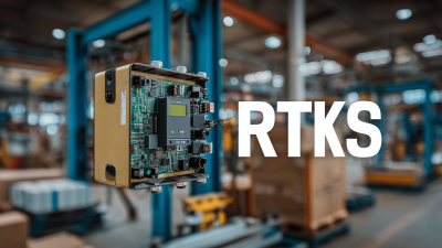
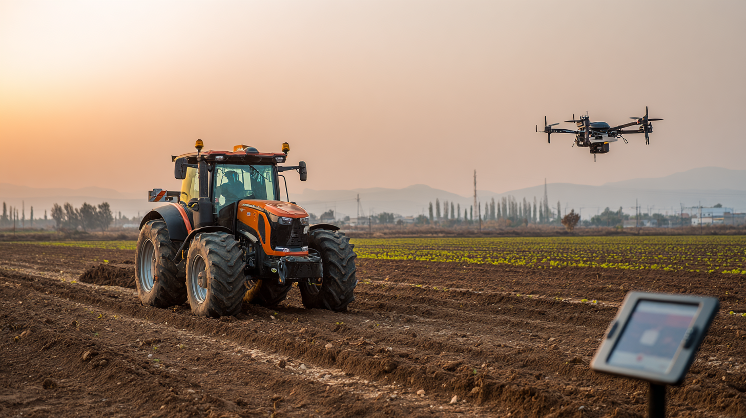
You know, Polaris RTK GPS tech has really changed the game for precision farming. It gives farmers crazy accurate data in the field, which is pretty awesome. If you're trying to get the hang of this advanced system, it's definitely worth understanding the basics—trust me, it can really boost your productivity and make things run more smoothly. Basically, Polaris RTK GPS uses real-time kinematic positioning to get down to centimeter-level accuracy. That means you can manage your crops and land more effectively—cut down on overlaps and make the most of your resources without wasting a thing.
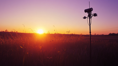
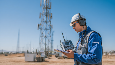
To kick things off with Polaris RTK GPS, just make sure your equipment is compatible with it. Investing in a good, reliable base station is super important—without it, you won’t get a stable signal, which is kind of the backbone of accurate positioning. Also, don’t forget to calibrate your GPS regularly; it might seem like a small thing, but it really helps keep the system performing at its best, giving you even more precise results in your farming practices.
And here’s a pro tip: if you can connect Polaris RTK GPS with other farm management systems you’re using, it can turn into a real powerhouse for data collection and analysis. Monitoring things like crop health, soil conditions, and moisture levels becomes way easier and more accurate. With all that info right at your fingertips, you can make smarter, data-driven decisions that actually boost your yields and overall efficiency. Sounds pretty cool, right?
| Parameter | Value | Description |
|---|---|---|
| Base Station Accuracy | 2 cm | The level of precision provided by the base station in RTK GPS. |
| RTK Signal Range | 10 km | The maximum distance from the base station at which accurate positioning is maintained. |
| Satellite Constellations | GPS, GLONASS, Galileo | The systems that provide satellite signals for positioning. |
| Update Rate | 10 Hz | The frequency at which the position data is refreshed. |
| Common Uses | Field Mapping, Crop Monitoring | Applications of RTK GPS in precision farming for enhancing productivity. |
| Cost of Setup | Approximately $10,000 | Initial investment required for a complete RTK GPS system. |
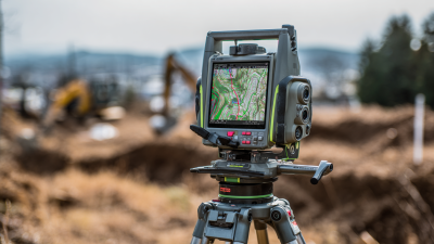
In the rapidly evolving landscape of surveying and navigation technologies, the AP30 Laser Dual-Cameras Rtk Gnss receiver emerges as a beacon of precision and innovation. Equipped with cutting-edge GNSS capabilities, it leverages the latest advancements in Global Navigation Satellite Systems to deliver exceptional accuracy. Reports indicate that GNSS technology is expected to experience a CAGR of over 12% from 2021 to 2026, driven by the growing demand for high-precision positioning solutions across various industries, including construction, agriculture, and autonomous vehicles.
The AP30 stands out not only for its GNSS features but also for its Super IMU and millimeter-level green laser technologies. The integration of these advanced components ensures seamless data collection and processing capability, allowing for real-time applications where precision is paramount. According to a study by the International Journal of Advanced Robotic Systems, high-end GNSS receivers can reduce location errors to less than 2 centimeters, significantly enhancing the reliability of spatial data in professional settings. This capability is vital for applications such as 3D mapping and drone surveying, where every millimeter counts.
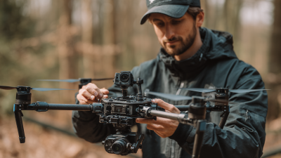
Furthermore, the dual-camera system of the AP30 enhances its versatility, providing users with the ability to capture high-resolution images and videos alongside accurate positioning data. This multifaceted functionality not only streamlines workflows but also enhances the richness of the collected data, making it an invaluable tool for engineers and surveyors alike. With industry forecasts predicting an increasing reliance on integrated technological solutions, the AP30 Laser Dual-Cameras RTK GNSS receiver positions itself at the forefront of this transformation, promising to redefine the standards of precision in the field.
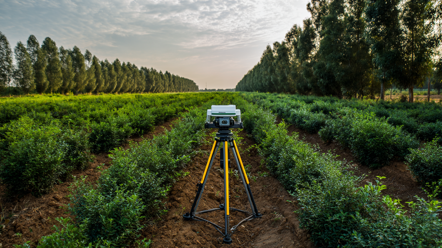
: The first step is to ensure proper initialization of your GNSS equipment by placing the base station in an open area with a clear view of the sky, free from obstructions.
Using a solid geodetic control point increases the reliability and positioning accuracy of the GNSS system.
Farmers can improve accuracy by regularly calibrating their RTK systems after significant events, like changes in crop types or field layouts.
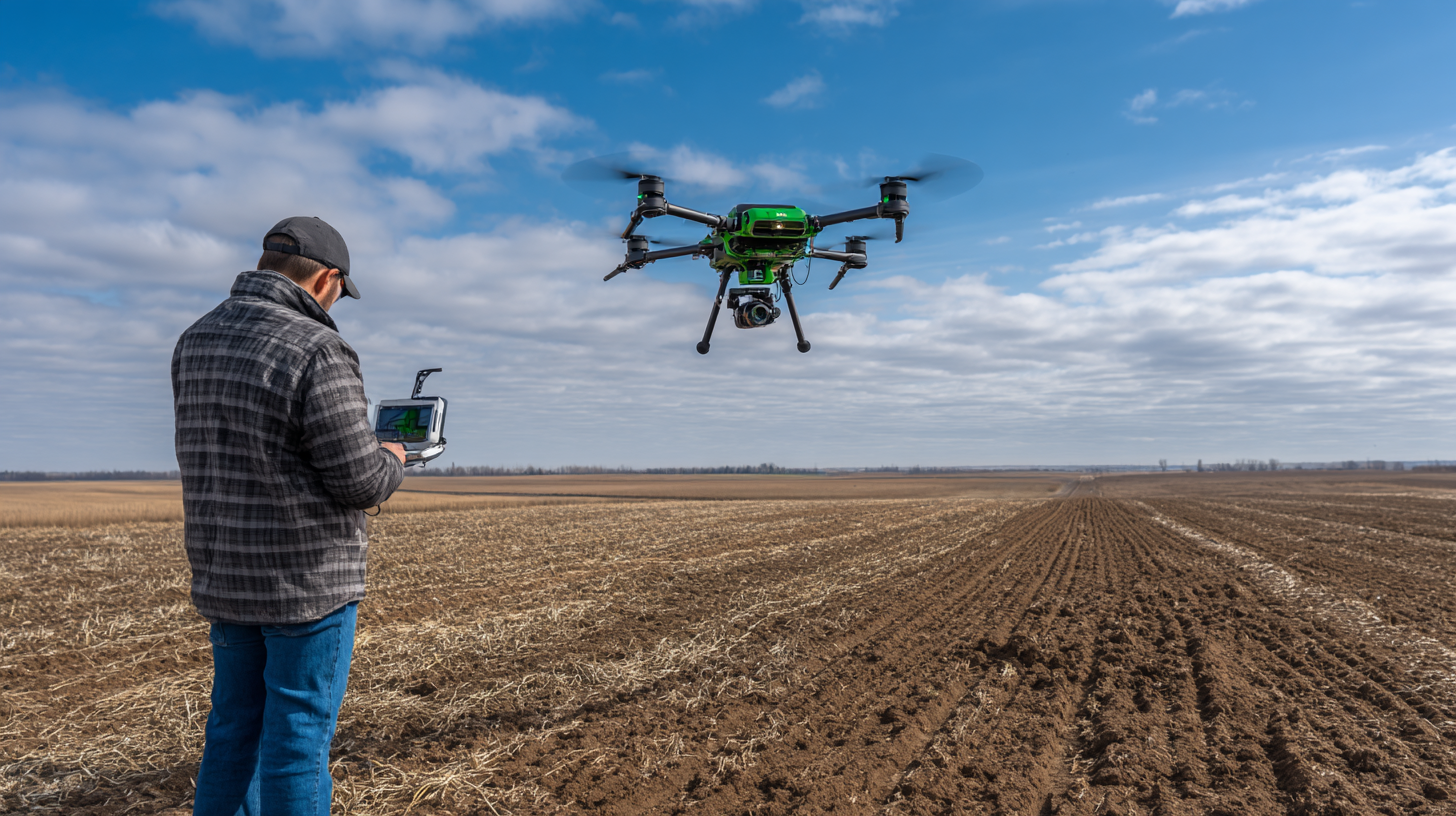
Implementing GNSS correction methods like RTK can significantly improve positional accuracy, especially for autonomous equipment, while understanding when to switch to alternatives like PPP or SSR can also be beneficial.
Farmers utilizing RTK systems report improved yields and reduced input costs due to more precise planting, fertilizing, and harvesting practices.
Network RTK solutions allow access to multiple reference stations, significantly improving positional accuracy compared to standalone systems.
Innovations such as bio-computing and systems devoid of traditional GPS navigation are projected to reshape agro-tech landscapes, enhancing accuracy in farming operations.
Regularly checking and updating the firmware of GNSS devices allows users to utilize advancements in technology that can enhance performance.
Staying informed about emerging technologies, such as machine learning algorithms, can help integrate with RTK systems for enhanced decision-making in farming practices.
By enabling data-driven decisions that enhance productivity while minimizing environmental impact, RTK technology supports sustainability in agricultural practices.
So, I came across this article titled "How to Maximize Accuracy Using Polaris RTK GPS in Precision Agriculture," and honestly, it’s pretty interesting. It dives into the basics of what Polaris RTK GPS is all about and how farmers are actually using it today. One thing that really caught my eye is how this tech helps boost crop yields and makes resource management a lot smoother—like, making everything more efficient. The article also talks about syncing Polaris RTK GPS with farm management software, which apparently really ramps up how precise and reliable your operations can be.
They don’t just leave you hanging—there are some practical tips on how to set up and calibrate these systems in the fields, so you're not left guessing if it’s done right. Plus, there are some really cool case studies showing real farmers who've successfully used RTK tech and seen great results—talk about inspiring! Looking ahead, the article touches on where RTK GPS might be headed and how it’s going to keep shaping the future of ag-tech. Oh, and by the way, Shanghai Apekstool (APEKS) is definitely on board, ready to help farmers get the most out of Polaris RTK GPS so they can achieve some pretty amazing stuff in their farms.
All in all, it’s a solid piece that mixes practical advice with a peek into the exciting future of farming tech.